Vector tooltips
Elastic Cloud Serverless projects are autoscaled environments, fully managed by Elastic and available on Elastic Cloud. Availability This functionality is generally available and ready for production usage. Serverless interfaces and procedures might differ from classic Elastic Stack deployments. The Elastic Stack includes Elastic's core products such as Elasticsearch, Kibana, Logstash, and Beats. Availability This functionality is generally available and ready for production usage. Unless stated otherwise on the page, this functionality is available when your Elastic Stack is deployed on Elastic Cloud Hosted, Elastic Cloud Enterprise, Elastic Cloud on Kubernetes, and self-managed environments. This documentation corresponds to the latest patch available for each minor version. If you're not using the latest patch, check the release notes for changes.
Serverless
Generally available
Stack
Generally available
Vector tooltips display attributes for the features at your mouse location. These tooltips give users an in-depth insight into what’s going on in the map.
If more than one feature exists at a location, the tooltip displays the attributes for the top feature, and notes the number of features at that location. The following image has a tooltip with three features at the current location: a green circle from the Total Sales Revenue layer, a blue New York State polygon from United States layer, and a red United States Country polygon from the World Countries layer. The tooltip displays attributes for the top feature, the green circle, from the Total Sales Revenue layer.
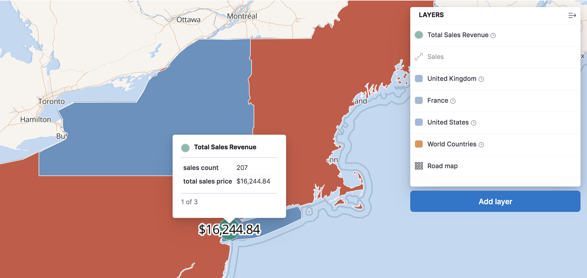
You can format the attributes in a tooltip by adding field formatters to your data view. You can use field formatters to round numbers, provide units, and even display images in your tooltip.
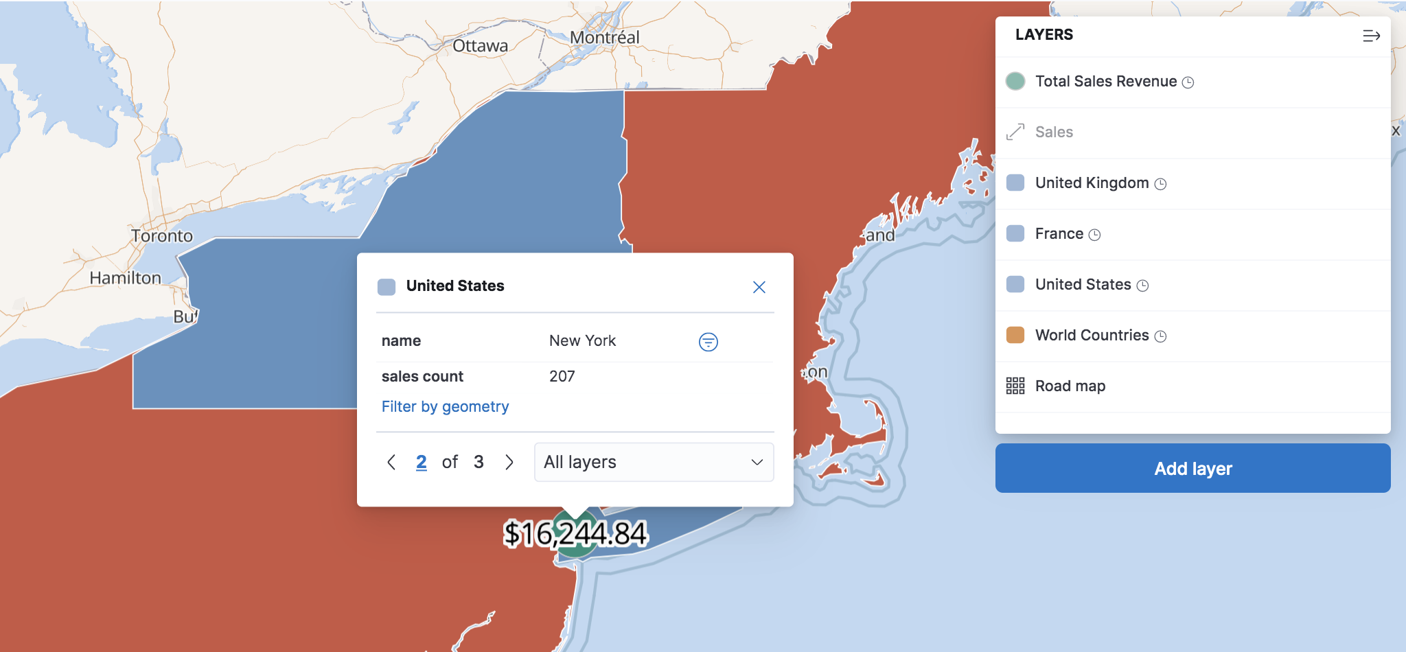
You can lock a tooltip in place by clicking a location on the map. With locked tooltips you can:
- Page through features.
- Create a phrase filter from a feature attribute value.
- Create a spatial filter from a feature’s geometry.
This image shows a locked tooltip with features from three layers. The tooltip displays attributes for the second feature, the blue New York State polygon. The tooltip includes controls for paging through the features and a dropdown menu for filtering the features by layer.