Vector layer
Elastic Cloud Serverless projects are autoscaled environments, fully managed by Elastic and available on Elastic Cloud. Availability This functionality is generally available and ready for production usage. Serverless interfaces and procedures might differ from classic Elastic Stack deployments. The Elastic Stack includes Elastic's core products such as Elasticsearch, Kibana, Logstash, and Beats. Availability This functionality is generally available and ready for production usage. Unless stated otherwise on the page, this functionality is available when your Elastic Stack is deployed on Elastic Cloud Hosted, Elastic Cloud Enterprise, Elastic Cloud on Kubernetes, and self-managed environments. This documentation corresponds to the latest patch available for each minor version. If you're not using the latest patch, check the release notes for changes.
Serverless
Generally available
Stack
Generally available
Vector layers display points, lines, and polygons.
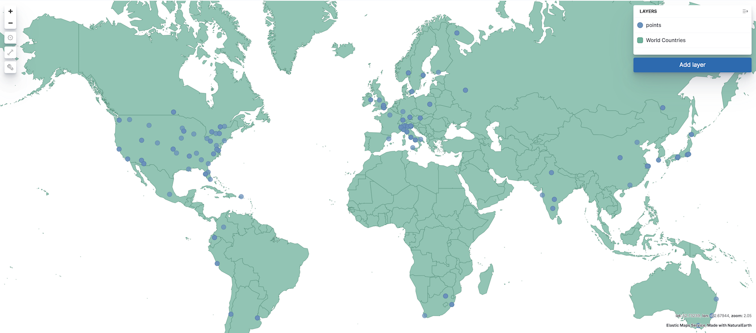
To add a vector layer to your map, click Add layer, then select one of the following:
- Choropleth
- Shaded areas to compare statistics across boundaries.
- Clusters
- Geospatial data grouped in grids with metrics for each gridded cell. The index must contain at least one field mapped as geo_point or geo_shape.
- Create index
- Draw shapes on the map and index in Elasticsearch.
- Documents
-
Points, lines, and polyons from Elasticsearch. The index must contain at least one field mapped as geo_point or geo_shape.
Results are limited to the
index.max_result_windowindex setting, which defaults to 10000. Select the appropriate Scaling option for your use case.- Limit results to 10,000 The layer displays features from the first
index.max_result_windowdocuments. Results exceedingindex.max_result_windoware not displayed. - Show clusters when results exceed 10,000 When results exceed
index.max_result_window, the layer uses GeoTile grid aggregation to group your documents into clusters and displays metrics for each cluster. When results are less thenindex.max_result_window, the layer displays features from individual documents. - Use vector tiles. Vector tiles partition your map into tiles. Each tile request is limited to the
index.max_result_windowindex setting. When a tile exceedsindex.max_result_window, results exceedingindex.max_result_windoware not contained in the tile and a dashed rectangle outlining the bounding box containing all geo values within the tile is displayed.
- Limit results to 10,000 The layer displays features from the first
- EMS Boundaries
- Administrative boundaries from Elastic Maps Service.
- ML Anomalies
- Points and lines associated with anomalies. The anomaly detection job must use a
lat_longfunction. Go to Detecting anomalous locations in geographic data for an example. - Point to point
- Aggregated data paths between the source and destination. The index must contain at least 2 fields mapped as geo_point, source and destination.
- Top hits per entity
- The layer displays the most relevant documents per entity. The index must contain at least one field mapped as geo_point or geo_shape.
- Tracks
- Create lines from points. The index must contain at least one field mapped as geo_point.
- Upload Geojson
-
Index GeoJSON data in Elasticsearch.